 An official website of the United States government.
Description
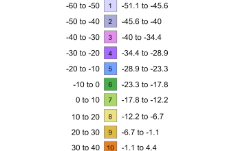
The USDA Plant Hardiness Zone Map is the standard by which gardeners and growers can determine which perennial plants are most likely to thrive at a location. The map is based on the average annual extreme minimum winter temperature, displayed as 10-degree F zones and 5-degree F half zones. A broadband internet connection is recommended for the interactive GIS-based map above.
To find the Plant Hardiness Zone at your location quickly, enter your zip code in the Quick Zip Code Search box in the map above, or click anywhere on the map to view the corresponding interactive map.
- For further instructions on using this map, visit How to Use The Maps.
- To view/print national, regional, or state Plant Hardiness Zone Maps, visit Map Downloads.
- To learn about updates to this map from its previous (2012) edition, visit Map Creation.
Tips For Growers
How to Use the Maps
Weed Your Garden
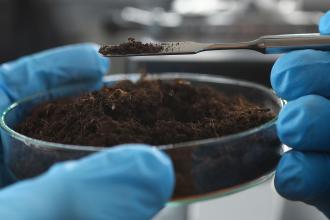
Soil Health

Gardening Tips
Videos: Innovative ARS Research For a Growing World
ARS scientists have spent the past several years working to develop state-of-the-art carbon mapping equipment that provides growers with precise and timely information about the quality of their soil.
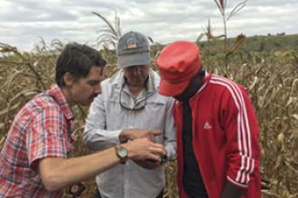
Perennial trees improve timber, livestock, and forage production, but they may also be an insurance policy for climate change.
USDA's Agricultural Research Service in Beltsville, Maryland is leading a nationwide effort to improve and expand the use of cover crops in agriculture.
Read More About ARS Plant Research
Protecting Plants May Start with Seed
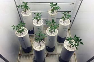
Growing Plants in a Hotter World
Soil Monitor App
Analyzing Soil Health
Questions?
For questions about the Plant Hardiness Zone Map, email phzminfo@usda.gov.